8

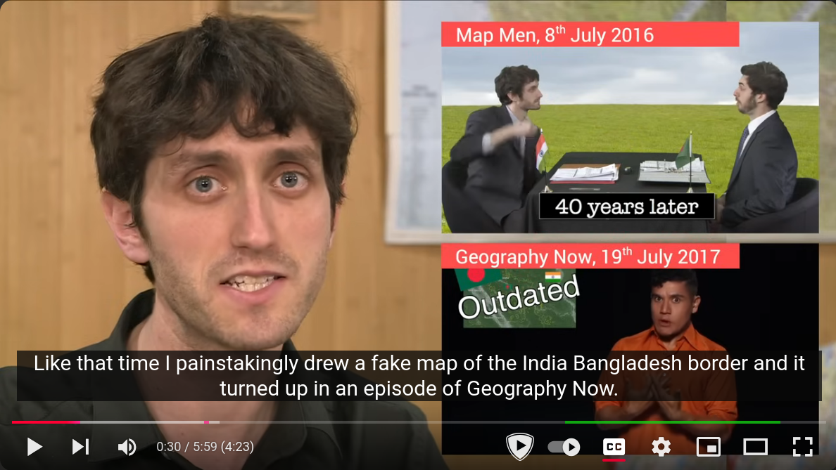
YouTube screenshot showing two YouTube videos side by side: (a) Map Men, 8th July 2016 and (b) Geography Now, 19th July 2017

As everyone knows, it's not a nice feeling when you've worked very hard on something and somebody steals it. Like that time I painstakingly drew a fake map of the India-Bangladesh border and it turned up in an episode of Geography Now.
Jay Foreman, Why do maps show places that don't exist?, Map Men, YouTube, 2019. (3+ million views)

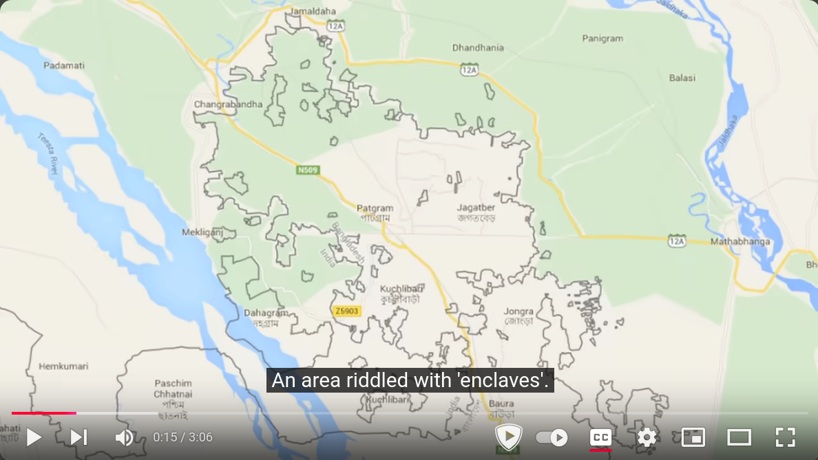
The claim pertains to two YouTube videos. The first is the Jay Foreman Map Men video:

screenshot from YouTube video showing the India-Bangladesh border

Today's map is a 2015 map of the border between India and Bangladesh. An area riddled with 'enclaves'. An enclave is a piece of country, wholly surrounded by another country.
Jay Foreman, India/Bangladesh - The world's worst border, Map Men, YouTube, 2016. (4.7+ million views)

I didn't see any indication in this video that Jay Foreman drew this India-Bangladesh border map, nor that it's fake. (It looks like Google Maps or some other web service.)

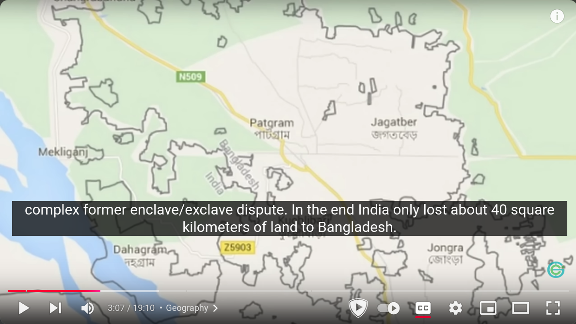
The relevant video on the Geography Now channel is:

Screenshot of the Geography Now! India video showing the India-Bangladesh border in question

Now as of 2015 the Bangladesh episode is already outdated as India and Bangladesh have finally come to an agreement over the frighteningly complex former enclave/exclave dispute. In the end India only lost about 40 square kilometers of land to Bangladesh. And now only a few enclaves and exclaves exist.
Geography Now, Geography Now! India, YouTube, 2017. (5.5+ million views)

So the maps in the two videos match, although I'm still unsure if Jay Foreman drew it (or some other map), and whether or not its fake. Now, Map Men combines humor and education, so it's possible the whole thing is just a joke, but the claim does seem rather specific. YouTube has some functionality which allows you to edit videos after release (e.g., for privacy or copyright), so it's possible these videos have been edited.

Question: Did YouTuber Jay Foreman draw "a fake map of the India-Bangladesh border" which subsequently "turned up in an episode of Geography Now"?

3
  • What does the '40 years later' subtitle on the first screenshot refer to? Jay Foreman was not yet born 40 years before 2016.
    – quarague
    Commented Oct 31 at 12:47
  • 2
    @quarague Watch the video and find out!
    – Schwern
    Commented Oct 31 at 18:24
  • 7
    "It looks like Google Maps" Not addressing the claim, but pointing out that people can add their own content to a Google Map, including shapes and lines, specifically for the reason of creating their own content on an otherwise interactive Google Map component. Google won't be serving that content to other people via Google Maps, but that's not part of the claim your asking about. It being on a Google Map does not inherently lend it an air of credibility or curation by Google.
    – Flater
    Commented Oct 31 at 23:57

2 Answers 2

24

Yes, but not knowingly, and their beef is a joke.

If one watches Map Men (I do) and Jay Foreman's other works, you immediately suspect it's some sort of gag. And they explain in the description of Why do maps show places that don't exist?...

By the way, Geography Now didn’t knowingly steal our map of India. Here’s a video of Barbs and me sat on a park bench having a good laugh about it… • Live stream Q&A with Geography Now

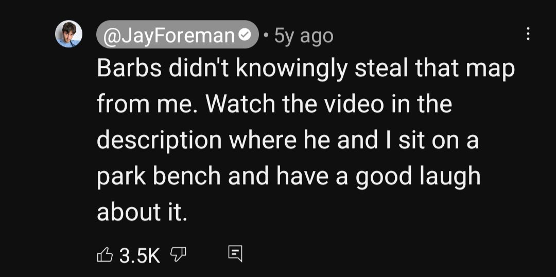
And Jay Foreman repeats in the comments...

"Barbs didn't knowingly steal that map from me. Watch the video in the description where he and I sit on a park bench and have a good laugh about it."

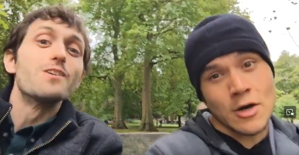
"Barbs" is Paul Barbato of Geography Now. Here are Jay and Barbs sat on a park bench having a good laugh about it:

still from the video

They explain Jay couldn't find a map of Bangladesh with the pre-2015 enclaves, so he made one by "Photoshopping on Google Maps". Barbs "found it off of Twitter so I guess someone took a screenshot and I stole it so all credit goes to Jay."

2
  • So to check I’m understanding right: The map is “fake” in the sense that it looks like a screenshot of an off-the-shelf Google Maps view, but has actually been hand-edited a bit — but it’s real in that the edits are meant to be a roughly accurate description of the enclaves pre-2015; it’s not faking anything in terms of the geography it shows?
    – PLL
    Commented Nov 3 at 6:37
  • @PLL Pretty much. The episode is about fake locations and deliberate mistakes map makers put in their maps to prevent copying; Jay's map is accurate, and it got copied... The show is a bit absurd.
    – Schwern
    Commented Nov 3 at 18:19
3

(edit: This was my hypothesis, but the other answer seems to have a more accurate explanation of what was meant by the joke. Still, "fake" is a weird way of phrasing it!)

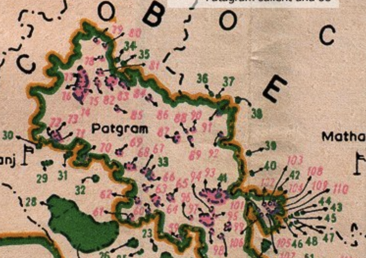
A blogger reacting to the Map Men video posted a screenshot of how the enclaves appeared on Google Maps in 2016. The portion shown on the Map Men video is visible as a detail. So, both videos are derived from real Google Maps data.

However, there is an interesting caveat on the blog.

It would appear the border can be edited in Google Map Maker, so we could fairly easily get the enclaves removed from Google Maps (and hence Google Earth) if we can find reliable information about which ones no-longer exist.

It seems possible that Jay Foreman is actually taking credit for making the edits in Google Map Maker, and the term "fake" is being used as a humorous descriptor for his unofficial, user-contributed edits. The actual edits seem fairly accurate to real maps of the area, viz. (from Wikimedia Commons)

Diagrametic Sketch Map of Cooch behar district, detail

The claim of a "fake map" doesn't seem sustainable on its face, but this is one possible explanation. I don't think we can further understand what was meant by this joke without comment from Jay Foreman himself.

3
  • 5
    I think your answer should link the full map on Wikimedia Commons, and should mention that it says at the top "NOT TO SCALE. SHOULD NOT BE QUOTED AS AUTHENTIC FOR THE PURPOSE OF SURVEY AND RELAY" and at the bottom left "NOTE :- SMALL CHHITS [enclaves] ARE NEITHER TO THE SCALE NOR IN THEIR CORRECT GEOGRAPHICAL POSITION."
    – benrg
    Commented Oct 31 at 16:01
  • 1
    Having watched the original video, I think Foreman was just making a joke. But it seems plausible that somebody drew the boundaries in Google Maps based on this or another questionably accurate map.
    – benrg
    Commented Oct 31 at 16:16
  • @benrg Not only that, I can't seem to find any source information on the Wikimedia "sketch" map: no author, date, where it was published, who made those annotations.
    – user71659
    Commented Nov 1 at 5:15

You must log in to answer this question.

Not the answer you're looking for? Browse other questions tagged .